today
/
tomorrow
/
day after tomorrow
/
Live & Book
Right underneath the cliffs, on the steeper slopes, lay the smaller fields. Dry stone walls used to prevent the soil from slipping.
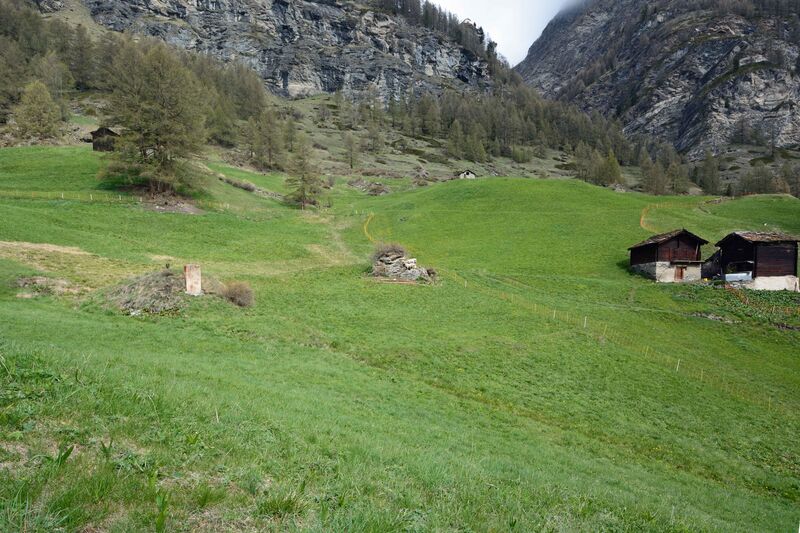
Grains, mostly rye, and potatoes were planted here. The increasing encroachment of bushes and shrubs makes it difficult to see the separate plots of land today, but they can be seen in photos taken up to the middle of last century.
This agricultural landscape was separated from the pastures below by a water supply running horizontally.
An extensive network of paths was used to manage the plots and these are now hiking trails. The paths were separated from the fields by dry stone walls and fences, helping to protect the fields from animals wandering through, with a path usually the width of one cow.
The fields needed an extensive irrigation system. Four water supply routes in the form of ditches brought water from the Triftbach river, which was then distributed across the plots through a network of smaller water supply routes, often forming the plot boundaries.
Room / Appartment 1
Room / Appartment 2
Room / Appartment 3
Room / Appartment 4


