today
/
tomorrow
/
day after tomorrow
/
Live & Book
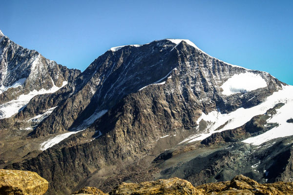
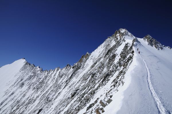
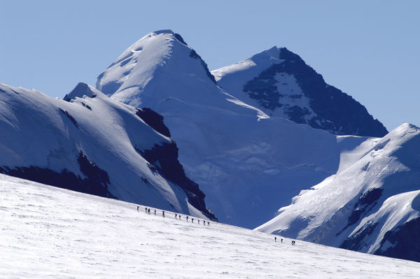
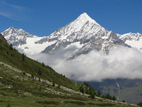
38 mountains are gathered here all of which are over 4,000 m. This includes the Matterhorn.
A true paradise for alpinists. The names are familiar: Monte Rosa, Weisshorn, Dom, Täschhorn, Liskamm. But why 38 four thousand-metre peaks? Very simply: Alpinists can reach 38 four thousand-metre peaks from Zermatt. The list includes the famous mountains. With tips for excursions, hikers and alpinists.
The list has 34 rather than 38 entries because the eastern and western summits of Lyskamm count as two four-thousanders, so the mountain only appears once in the list. It's the same with the Breithorn; its three subsidiary peaks also count as four-thousanders.
33 results
Zermatt
The Allalinhorn is one of the easiest 4,000-metre peaks in the Alps to climb, and also one of the most popular. From the summit, climbers see almost the entire sweep of the Western Alps.
Details
Zermatt
The Balmenhorn is located on the Italian side of the Monte Rosa massif. A statue of peace made of scrap from the Second World War stands on the summit.
Details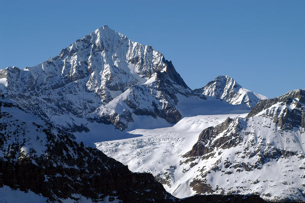
Zermatt
The Dent Blanche has an almost regular pyramid shape with four ridges. A metal cross marked with the year 1966 stands on the summit.
Details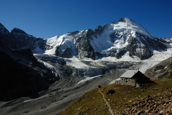
Zermatt
The Dent d’Hérens is not directly visible from Zermatt. One way to see this peak is to walk the beautiful trail from Zermatt to the Schönbiel hut.
Details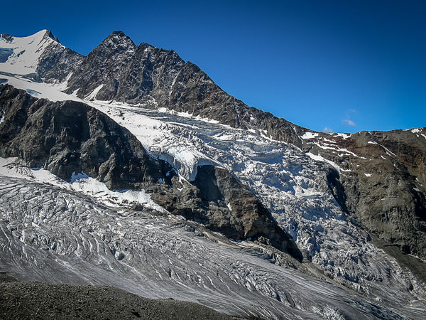
Zermatt
The Dirruhorn (Dürrenhorn) is the last summit of the Nadelgrat ridge. It is located in the same massif as the Mischabel group of mountains, which is home to Switzerland’s highest peaks (Dom, Täschhorn).
Details
Zermatt
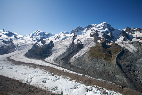
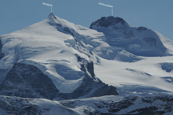
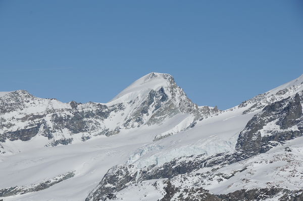
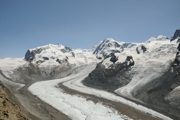
The Dufourspitze is the highest peak in the Swiss Alps. The summit lies in the Monte Rosa massif, which has about ten 4,000-metre summits, depending on how they are counted. The highest is the Dufourspitze.
Details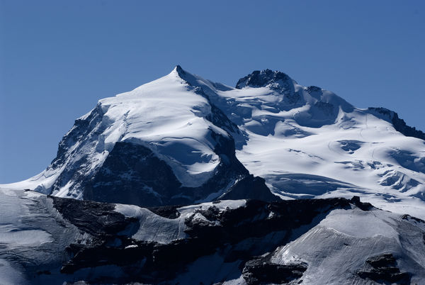
Zermatt
The Dunantspitze (4,632 m) lies beside the Dufourspitze. The peak forms part of the Monte Rosa massif, which has about ten summits of more than 4,000 m, depending on counting method. The Dunantspitze (right, black rocky crest beside the summit of the Dufourspitze) in the Monte Rosa massif is Switzerland’s second-highest peak.
Details
Zermatt
Grenzgipfel means “Border summit”: this peak marks the highest point on the border between Switzerland and Italy. The mountain is part of the Monte Rosa massif.
Details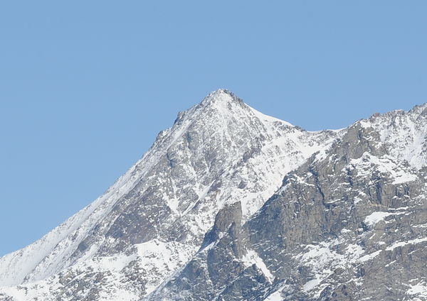
Zermatt
This peak belongs to the famous Nadelgrat pinnacle chain, north-west of Switzerland’s highest mountains.
Details
Zermatt
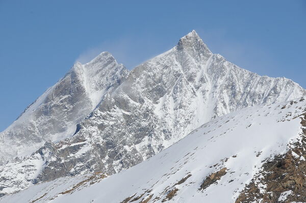
The Liskamm is almost 50 m higher than the Matterhorn and has a very long ridge. The mountain is nicknamed the “Man-eater” because in former days many climbers fell to their deaths from the snow cornices along the ridge. Locals attributed the numerous accidents to the forces of darkness.
Details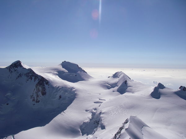
Zermatt
The Ludwigshöhe stands on the border between Switzerland and Italy. It is one of numerous peaks in the Monte Rosa massif, and the most southerly 4,000-metre summit in Switzerland.
Details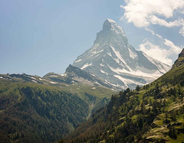
Zermatt
The Matterhorn, the king of mountains, is the most-photographed mountain in the world. It is myth and emblem for Alpinists and photographers alike, as well as Switzerland’s most famous landmark and symbol.
Details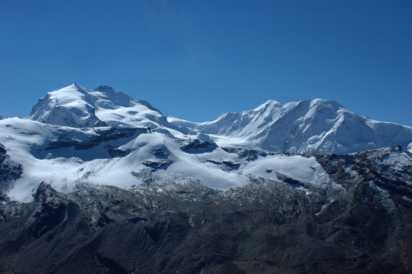
Zermatt
The Monte Rosa massif, flanked by glaciers, is the highest mountain in the Swiss Alps. Depending on the method of counting, it has ten peaks higher than 4,000 m, and lies partly in Italy. The Dufourspitze (4,634 m, right, black rocky crest) in the Monte Rosa massif is Switzerland’s highest peak.
Details
Zermatt
The Parrotspitze is one of the more prominent summits of the Monte Rosa massif. The mountain shares its name with a peak in Turkey.
Details
Zermatt
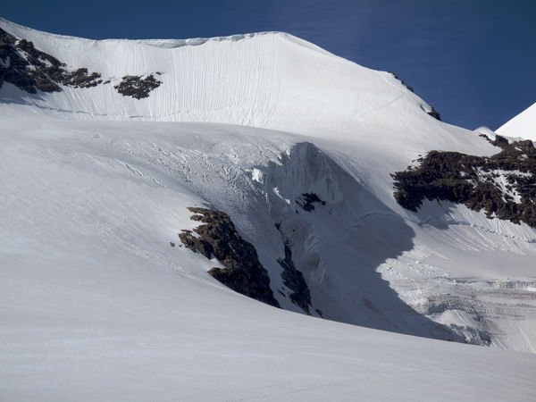
The Rimpfischhorn is easily recognisable thanks to its distinctive shape. The pinnacles were formed from pillow lava that oozed from the floor of the prehistoric Tethys sea millions of years ago. The rock subsequently eroded to leave these striking pinnacles.
Details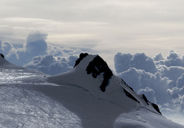
Zermatt
The Schwarzhorn forms part of the Monte Rosa massif. The black rocky outcrop presents a dramatic contrast to the white expanses around, yet rises only about 50 m above the ice.
Details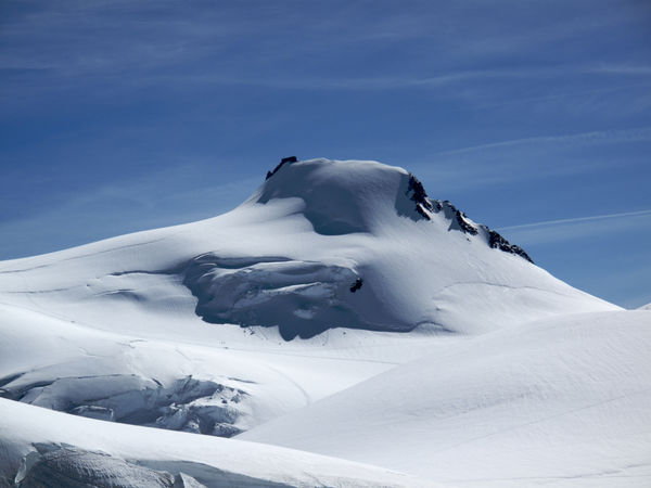
Zermatt
The Signalkuppe is the mountain in the Monte Rosa massif that is home to the most famous and highest mountain refuge in Europe, the Capanna Regina Margherita.
Details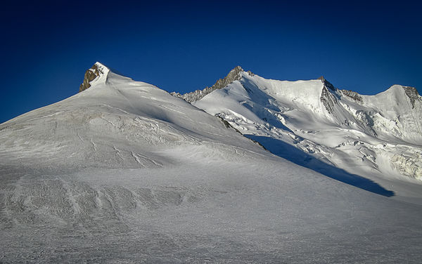
Zermatt
The Stecknadelhorn is a small elevation on the Nadelgrat ridge, but because of its altitude of 4,241 m it is considered a 4,000-metre peak in its own right. An ascent can be incorporated in a crossing of the Nadelgrat ridge, depending on climbers’ physical condition.
Details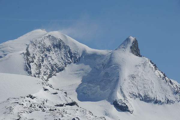
Zermatt
The Strahlhorn is the most southerly 4,000-metre peak around Saas-Fee. It is rarely climbed. The glacier ascent to the summit reveals magnificent panoramic views.
Details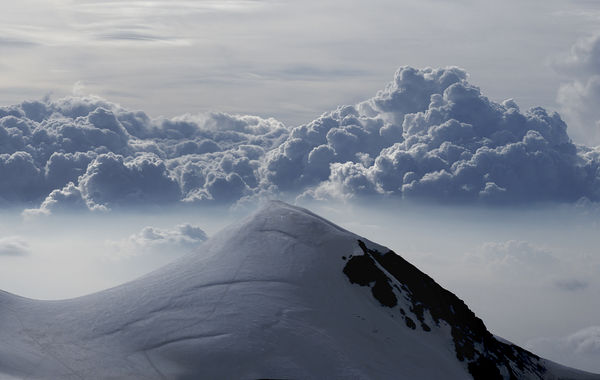
Zermatt
The Vincent Pyramid is the last mountain of the Monte Rosa massif, so to speak. The first ascent had a surprising motive: the search for gold.
Details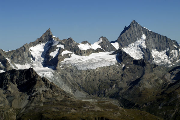
Zermatt
The summit of the Zinalrothorn appears to lean to one side and so is unmistakable. The ascent via the Rothorngrat ridge is regarded as one of the finest rock climbs in the Zermatt region.
Details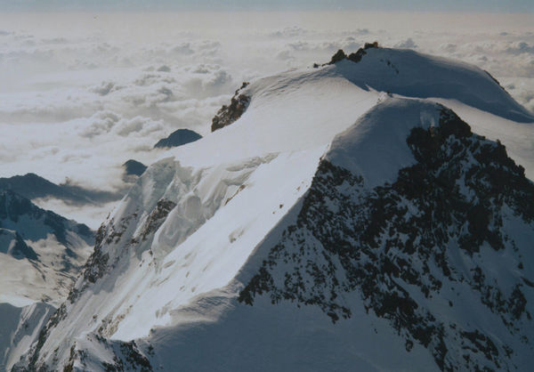
Zermatt
The Zumsteinspitze was the first summit of the Monte Rosa massif to be climbed. Its name comes from the topographer Joseph Zumstein, who explored the peak with other scientists.
DetailsRoom / Appartment 1
Room / Appartment 2
Room / Appartment 3
Room / Appartment 4