360° Loop Gornergrat (Nr. 16)
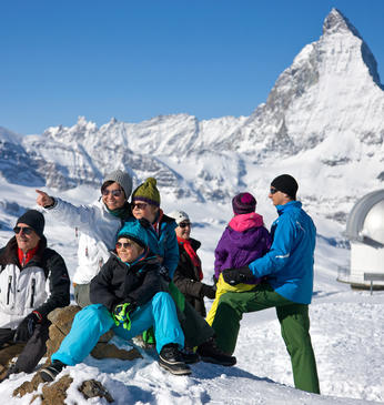
The Gornergrat is one of Switzerland’s top excursions with good reason. This short circular route lets visitors experience the magic of the Gornergrat and the impressive scenic panorama.
- Type Hiking trail
- Difficulty easy
- Duration 0,20 h
- Distance 0,5 km
- Ascent 19 m
- Descent 18 m
- Lowest point 3112 m
- Highest point 3130 m
Description
The view from the 360° Loop Gornergrat is extremely memorable: before you lie the Monte Rosa massif with Switzerland’s highest mountain (Dufourspitze, 4,634 m), the second highest glacier in the Alps (Gorner glacier) and a panorama with 29 mountains over 4,000 metres, including the Matterhorn, all close enough to touch.
The short high-altitude hiking trail starts and ends at the Gornergrat viewing platform and runs behind the Gornergrat peak. With a little luck you will see wild ibex.
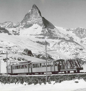
- 33-minute ride from Zermatt to the Gornergrat with the Gornergrat railway
- beneath the viewing platform: 3100 Kulmhotel Gornergrat (highest hotel in the Swiss Alps)
Around the viewing platform on Gornergrat
We recommend:
- Good footwear
- Hiking poles (optional)
- Clothing suitable for the weather (always carry a waterproof)
There are free Viscopes available on the viewing platform, which is where the high-altitude hiking trail starts and ends. These are viewing telescopes which display information, such as the names of mountains, villages and trails, in the user’s field of vision. Also worth a visit: the multimedia experience world "Zooom the Matterhorn".
- Plan every mountain tour carefully and adapt to participants’ fitness level as well as the weather and season.
- Weather conditions can change quickly in the mountains. Appropriate clothing is therefore essential, along with adequate supplies of food and water. In uncertain weather, turn back in good time.
- Inform others of planned route, and whenever possible avoid going alone.
- Do not leave the marked routes; do not venture onto glaciers without a mountain guide.
- Please be considerate to other walkers and to plants and animals.
- Take note of the warning signs drawing attention to the constant danger in river beds and along watercourses below dams and reservoirs.


