today
/
tomorrow
/
day after tomorrow
/
Live & Book
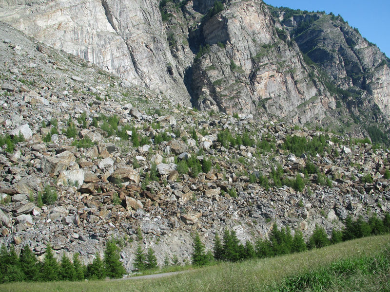
The triple rockslide at Randa took place in 1991. Boulders as big as houses are visible today scattered across the enormous cone of rock debris. In the meantime, larches, the pioneer trees of the Alps, have been steadily colonising the terrain.
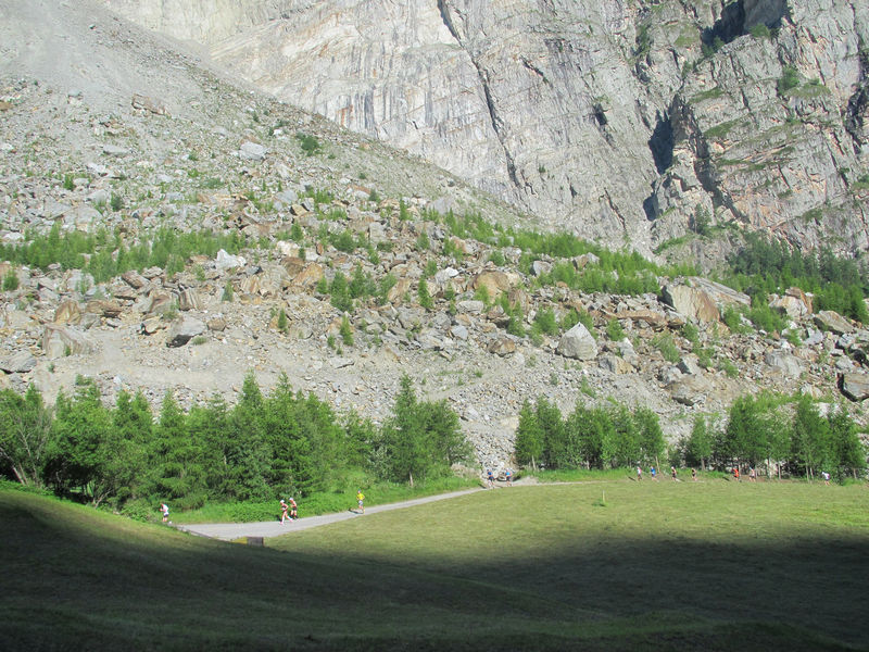
“Grossgufer” is the local name of the cone of debris from the rockslide. In the local dialect, “Gufer” means scree, rocks, or a heap of rubble. In total, three rockslides occurred on the Längenfluhberg.
As if by a miracle, no one was hurt. However, 35 sheep and seven horses perished. Large areas of the hamlet of Lerch, with 33 agricultural buildings and holiday homes, disappeared for ever. A layer of dust several centimetres thick covered the valley.
The Swiss army helped lay a new railway track for the Matterhorn Gotthard Bahn within ten weeks. A detour road was also built. Finally, engineers excavated a 20-metre-deep channel through the rock debris allowing the water in the reservoir to escape and the Vispa river to flow freely once again. Nonetheless, parts of the village of Randa flooded during storms in July and August 1991.
Room / Appartment 1
Room / Appartment 2
Room / Appartment 3
Room / Appartment 4